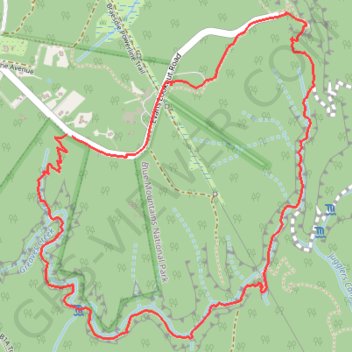
Grand Canyon Track
Interactive map
GPS track profile
About this GPS track
Name: Grand Canyon Track GPS track, route, trail
Coordinates: -33.65988 150.31324 -33.64659 150.32678
Other GPS tracks
Click on a GPS track to view route, its statistics and profile.
Perth to Sydney
Australie > Australie occidentale > City of Belmont
Distance: 3,801.3 Km • Elevation gain: 14,558 m • Maximum elevation: 1,159 m