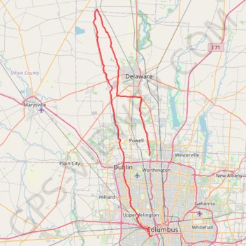
ThrottleCo_River_Roads_Loop
- Distance: 106.6 Km
- Elevation gain: 413 m
- Maximum elevation: 300 m
- Elevation loss: 394 m
- Minimum elevation: 216 m
Interactive map
GPS track profile
About this GPS track
Name: ThrottleCo_River_Roads_Loop GPS track, route, trail
Coordinates: 39.94580 -83.19751 40.44543 -83.02826