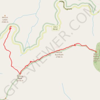
Import a GPX file

Mount Baden-Powell

Hike from Dawson Saddle to Mount Baden-Powell via Throop Peak and Mount Burnham in the Angeles National Forest. #Hike #Mountain #Forest #Nature #Angeles

  • Distance: 6.8 Km
  • Elevation gain: 696 m
  • Maximum elevation: 2,858 m
  • Elevation loss: 266 m
  • Minimum elevation: 2,426 m

Interactive map

GPS track profile

About this GPS track

Other GPS tracks

Click on a GPS track to view route, its statistics and profile.

Mount Baden-Powell

United States > California > Los Angeles County

Hike from Vincent Gap to Mount Baden-Powell via the Pacific Crest Trail (PCT) in the San Gabriel Mountains National Monument and the Angeles National Forest. #Hike #Mountain #Nature #Forest #Angeles

Distance: 6.3 Km • Elevation gain: 857 m • Maximum elevation: 2,857 m