03-OCT-21 13:06:26
- Distance: 12.2 Km
- Elevation gain: 104 m
- Maximum elevation: 530 m
- Elevation loss: 103 m
- Minimum elevation: 470 m
- Moving time: 3 h 10 m
- Moving speed: 3.8 Km/h
- Maximum speed: 5.0 Km/h
- Total time: 4 h 2 m
- Global speed: 3.0 Km/h
- Date: 03/10/21
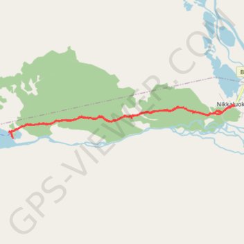
Interactive map
GPS track profile
About this GPS track
Name: 03-OCT-21 13:06:26 GPS track, route, trail
End: Nikkaluokta, Gällivare kommun, Comté de Norrbotten, Suède (67.85106 19.01548)
Coordinates: 67.84387 18.88775 67.85106 19.01628
Other GPS tracks
Click on a GPS track to view route, its statistics and profile.
Stage 1: Arctic Ocean to Väylä — European Divide Trail
Distance: 2,785.0 Km • Elevation gain: 23,823 m • Maximum elevation: 722 m