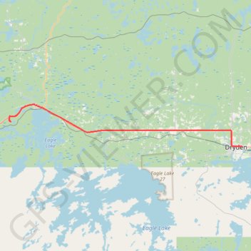
Vermilion Bay - Dryden
- Distance: 52.3 Km
- Elevation gain: 308 m
- Maximum elevation: 406 m
- Elevation loss: 317 m
- Minimum elevation: 347 m
Interactive map
GPS track profile
About this GPS track
Name: Vermilion Bay - Dryden GPS track, route, trail
Coordinates: 49.78616 -93.46006 49.86078 -92.81959
Other GPS tracks
Click on a GPS track to view route, its statistics and profile.
Kenora - Vermilion Bay
Canada > Ontario > Kenora District > Kenora
Distance: 87.1 Km • Elevation gain: 894 m • Maximum elevation: 452 m