Tenaja Falls
Interactive map
GPS track profile
About this GPS track
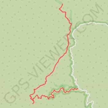
Name: Tenaja Falls GPS track, route, trail
Start: Fisherman's Camp Trail, Riverside County, California, United States (33.53231 -117.39301)
End: Tenaja Falls Trail, Riverside County, California, United States (33.55640 -117.39831)
Coordinates: 33.52801 -117.40952 33.55640 -117.39301