Arrastre Creek
Interactive map
GPS track profile
About this GPS track
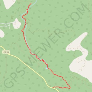
Name: Arrastre Creek GPS track, route, trail
Start: Broom Flats Road, San Bernardino County, California, United States (34.20739 -116.73789)
Coordinates: 34.20705 -116.75163 34.23827 -116.73010