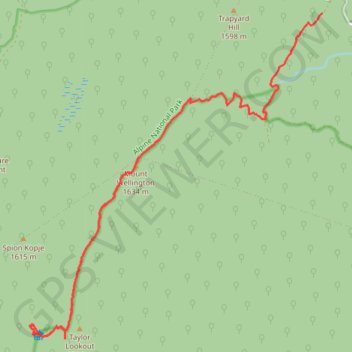
Mount Wellington Track GPX Trace
- Distance: 18.4 Km
- Elevation gain: 890 m
- Maximum elevation: 1,630 m
- Elevation loss: 506 m
- Minimum elevation: 1,179 m
- Moving time: 1 h 31 m
- Moving speed: 12.1 Km/h
- Maximum speed: 35.7 Km/h
- Total time: 2 h 58 m
- Global speed: 6.2 Km/h
- Date: 27/04/24
Interactive map
GPS track profile
About this GPS track
Name: Mount Wellington Track GPX Trace GPS track, route, trail
Start: Mount Wellington Track, Moroka, Shire of Wellington, Victoria, Australia (-37.48161 146.88725)
Coordinates: -37.54072 146.82031 -37.48161 146.88725
Other GPS tracks
Click on a GPS track to view route, its statistics and profile.